


The Ancient Eruption of Mount Batur: Geological Traces, Fertility, and the Cultural Identity of Bali
The island of Bali was formed through a long geological process, primarily from the massive ancient eruption of Mount Batur, which created the caldera and Lake Batur. Scientific studies show that the volcano underwent several major phases of volcanism with a dynamic magma system. The eruption materials produced fertile volcanic soil, later utilized by humans through the subak irrigation system. Lake Batur serves as the main water source and holds spiritual significance as the embodiment of Dewi Danu, the guardian of fertility. The ancient eruption of Batur was not merely a natural event but the ecological, cultural, and spiritual foundation of Bali. Nature provides potential, and humans give it meaning—reflecting harmony between science, belief, and sustainable life.
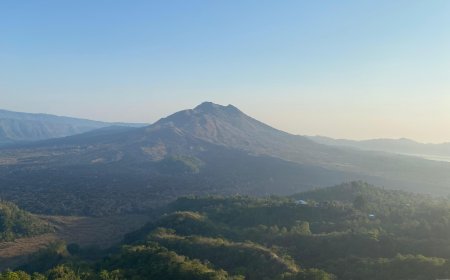
The island of Bali as we know it today is not merely the result of human civilization, but also the product of an extraordinary geological journey. Long before kingdoms, inscriptions, or complex social systems emerged, the island had already been “shaped” by a massive eruption of the ancient Mount Batur, which permanently altered the face of Bali’s landscape. Thousands of years ago, this colossal volcano erupted with tremendous force, destroying its summit and leaving behind a vast caldera that is now Lake Batur—the largest volcanic lake in Bali.
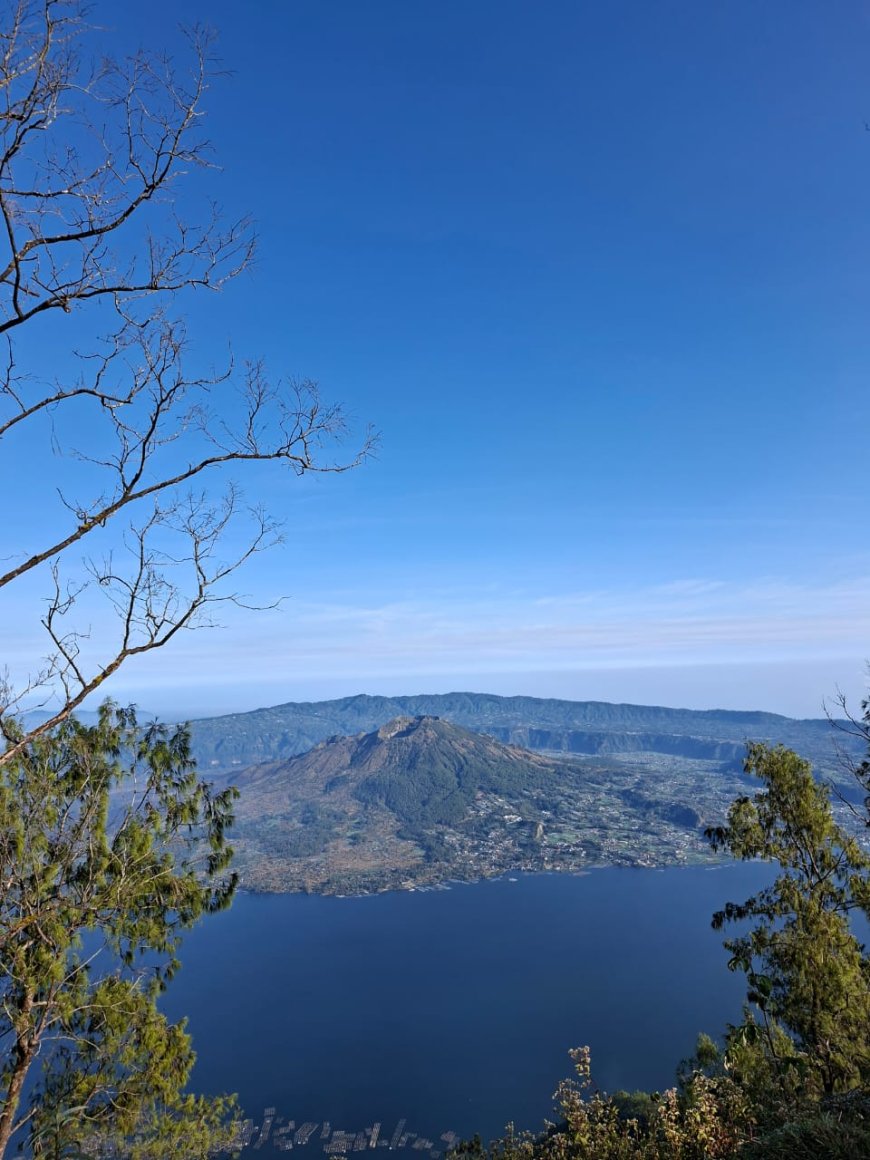
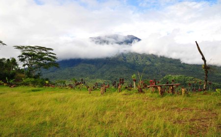
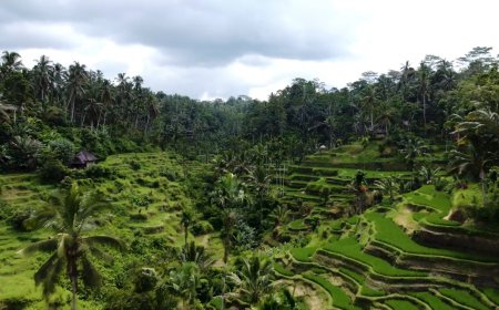
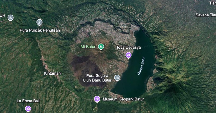
Mount Batur and Lake Batur (Source: Personal Collection)
Modern geophysical and petromagnetic studies reveal that Mount Batur experienced several major phases of volcanism, with its center of activity shifting over time. Research by Suryanata et al. (2023) shows that lava from the 19th to 20th-century eruptions still holds information about complex magmatic processes, indicating a highly dynamic magma system beneath Batur. Another study by Amir et al. (2021), using gravity and magnetic modeling, illustrates Bali’s subsurface structure, revealing the migration of volcanic centers—including Batur—since the Pleistocene era. These findings strengthen the hypothesis that the Batur Caldera was formed through two major eruption phases, dating back tens of thousands of years, though the exact range remains uncertain due to radiometric dating limitations.
The volcanic materials ejected by the ancient eruption covered vast surrounding areas. Over thousands of years, ash, lava, and pyroclastic deposits weathered to form soil layers rich in nutrients such as potassium, phosphorus, and calcium. Geochemical studies show that the volcanic soils around Batur have high fertility, good water retention capacity, and support the growth of various crops. However, the relationship between eruptions and fertility is not automatic; fertility represents only ecological potential, which becomes real only when humans utilize it through agricultural systems. In the context of Bali, this potential was realized in the traditional irrigation system known as subak.
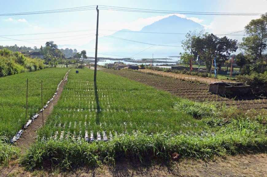
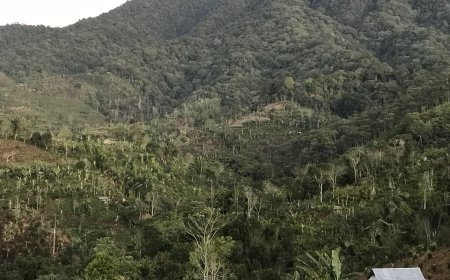
Farmland around Lake Batur (Source: Personal Collection)
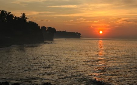
Lake Batur itself formed when the caldera created by the ancient eruption filled with rainwater and underground seepage. Today, the lake serves as a primary water source for nearby communities, particularly within the subak system. Research by Utama, Arthana, and Nuarsa (2024) indicates that Lake Batur’s shoreline continues to change due to sedimentation, erosion, and human activities, with significant transformations projected by 2030. This phenomenon is not merely a natural occurrence but also a warning about the importance of sustainable water management in the Batur Geopark area.
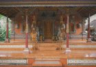
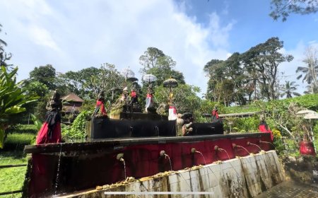
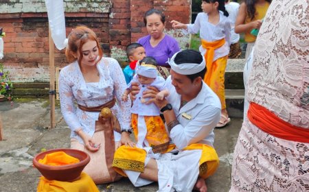
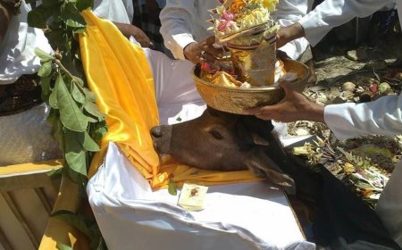
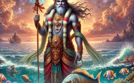
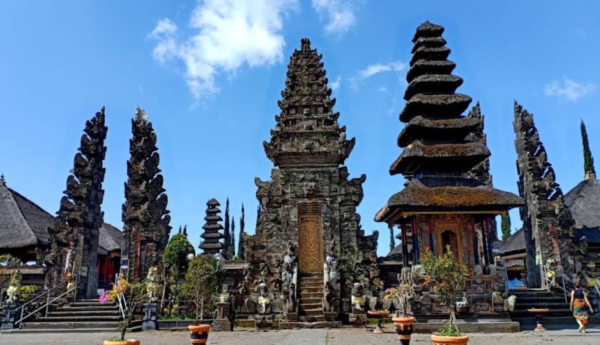
From a socio-cultural perspective, the waters of Lake Batur hold deep spiritual significance for the Balinese people. In Balinese Hindu belief, the lake embodies Dewi Danu, the goddess of water and fertility. Hence, on its shores stands Pura Ulun Danu Batur, one of Bali’s main temples, where devotees pray for balance between humans, nature, and God. Scholars such as Surata (2022) note that this spiritual relationship is not purely symbolic but also ecological: rituals and customary norms surrounding the temple and subak serve as social mechanisms for maintaining sustainable water resources.
Thus, the ancient eruption of Mount Batur left not only geological traces but also ecological and spiritual foundations that shaped Bali’s identity. Yet, it is crucial to recognize that the relationship between ancient geological events and human culture is neither direct nor deterministic. The great eruption provided fertile soil and water sources, but social systems such as subak and the worship of Dewi Danu emerged from centuries of human adaptation to their environment. In essence, nature provides possibilities—but humanity gives them meaning.
The interweaving of myth, culture, and science makes the story of Mount Batur more than a record of eruptions. It is a narrative of how disaster can give rise to life, how nature and humanity co-shape one another, and how faith and scientific knowledge can engage in dialogue to explain the origins of a civilization.
Suryanata, I. W., Wijaya, I. M. D., & Arifin, M. (2023). Analisis petromagnetik untuk rekonstruksi sejarah letusan Gunung Batur, Bali. Jurnal Geosains Indonesia,
Amir, R., Pratama, G., & Sasmita, A. (2021). Kajian geofisika bawah permukaan pada kawasan kaldera Batur menggunakan data gravitasi dan magnetik. Jurnal Geologi dan Geofisika,
Utama, I. G. B., Arthana, I. W., & Nuarsa, I. W. (2024). Dampak perubahan morfologi garis pantai Danau Batur terhadap keseimbangan ekologi lokal. Jurnal Lingkungan Tropis,
Surata, I. M. (2022). Makna spiritual dan ekologis Gunung Batur dalam kosmologi masyarakat Bali. Jurnal Kebudayaan Nusantara,